
ASCE EERI September 2024 Joint Dinner Meeting
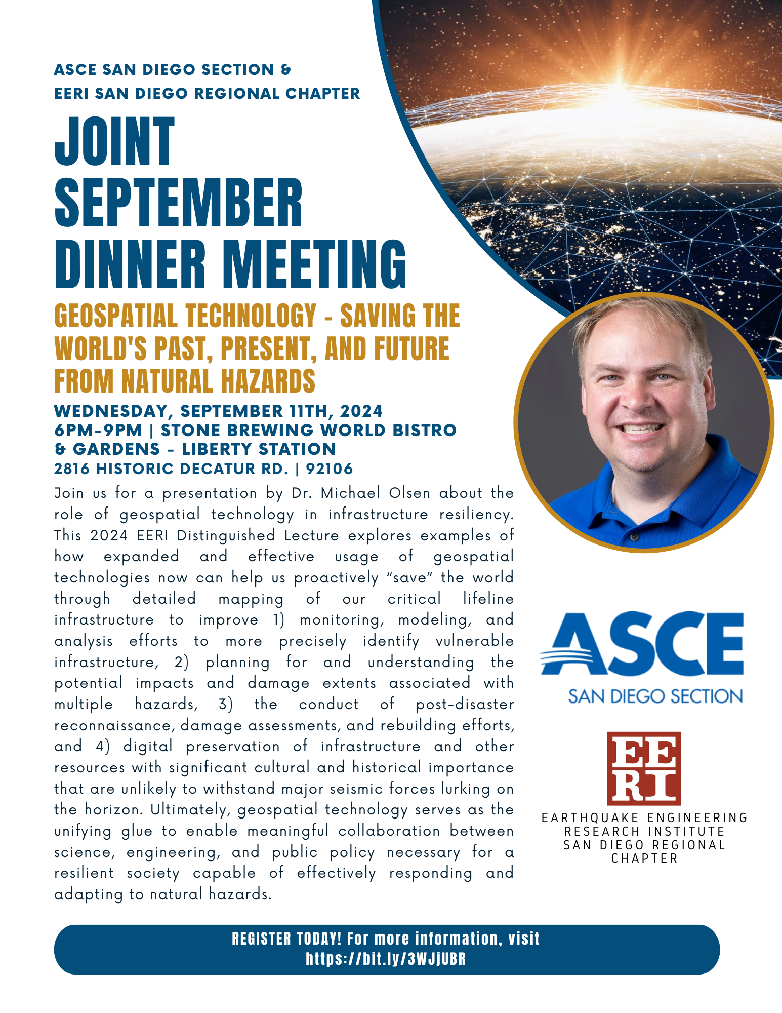
MEETING GEOSPATIAL TECHNOLOGY – SAVING THE WORLD’S PAST, PRESENT, AND FUTURE FROM NATURAL HAZARDS
Wednesday, September 11th, 2024
6pm-9pm
Stone Brewing Liberty Station
2816 Historic Decatur Road, Unit 116
San Diego, CA 92106
ASCE San Diego Section is co-hosting their September Meeting with EERI, featuring guest speaker Dr. Michael Olsen, 2024 EERI Distinguished Lecturer. Please join us at Stone Brewing to hear about the role of geospatial technologies in infrastructure resilience amidst natural hazards.
For members of EERI or ASCE = $40
For non-members = $50
For student members of EERI or ASCE = $30
For student non-members of EERI or ASCE = $40
Click the image to the right to view the event flyer.
REGISTRATION
Click here to register for the dinner.
Abstract
The task of maintaining resilient infrastructure against the onslaught of natural hazards often feels elusive and unattainable. Recent advances in technology offer promising solutions and opportunities towards this goal; however, the effective adoption and utilization of those technologies operates at a much slower pace given the societal realities of budget limitations, workforce shortages, polarization of priorities, disillusionment from past failures, and resistance to change. In day to day operations, efforts by engineers, planners, and decision makers often are stymied due to a lack of accessible, trustworthy, and current information related to infrastructure conditions. These problems are exacerbated in emergency situations where infrastructure systems and people are pushed to extreme limits.
At the project scale, inadequate site investigations result in substantial delays and cost-overruns from unanticipated problems during construction as well as poor infrastructure performance due to ground failure during a seismic event. These challenges propagate to the network scale where entities managing lifelines are often forced to make decisions prioritizing mitigation efforts based on limited, simplistic, or outdated information, which significantly hampers response and recovery efforts during a disastrous situation. This presentation explores examples of how expanded and effective usage of geospatial technologies now can help us proactively “save” the world through detailed mapping of our critical lifeline infrastructure to improve 1) monitoring, modeling, and analysis efforts to more precisely identify vulnerable infrastructure, 2) planning for and understanding the potential impacts and damage extents associated with multiple hazards, 3) the conduct of post-disaster reconnaissance, damage assessments, and rebuilding efforts, and 4) digital preservation of infrastructure and other resources with significant cultural and historical importance that are unlikely to withstand major seismic forces lurking on the horizon. Ultimately, geospatial technology serves as the unifying glue to enable meaningful collaboration between science, engineering, and public policy necessary for a resilient society capable of effectively responding and adapting to natural hazards.